Knowledge of maritime port locations is critical to the planning of many ship activities. These maritime port locations are especially valuable when coupled with port facility information such as nominal port size, maximum vessel size, land transportation availability, channel depth, lift capability and the other attribute information contained in the Global Maritime Ports Database.
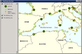
The Global Maritime Ports Database is an ArcView point shapefile that gives the location, characteristics, known facilities, and available services of nearly 5,000 ports and shipping facilities and oil terminals throughout the world. The point shapefile can be brought into ArcView or any other (GIS) software that accepts shaepfile format (.shp).
The GMPD CD-ROM is constructed using ESRI’s GIS software. The CD-ROM includes basic GIS display and query software but can be used in almost any GIS capable software. The GMPD contains detailed attribution on each of the almost 5000 ports as well as annually updated country studies.